
What is a Property Survey and Do You Need One?
In Summary:
- Property surveys establish where your property’s boundaries and easements are to help you avoid permit denials or encroachments.
- Surveys serve as legal evidence and are often a prudent step when buying or selling a home, helping reduce risks.
- For building permits in Gig Harbor’s height-restricted area, a topographic survey is required as part of the application.
With land surveys in Gig Harbor running anywhere from $685 to $1,200, according to HomeAdvisor’s Land Surveyor Cost tool, it’s essential to understand what they offer so you can use the data they provide most effectively. Start by asking, “What is a property survey?” if you don’t know what they can provide, as otherwise you cannot see if they’re worth ordering.
Below, we discuss the key purposes of a land survey and explain what each one entails. Discover why they are so crucial in Gig Harbor and what having that data on hand can give you when negotiating with a buyer or seller.
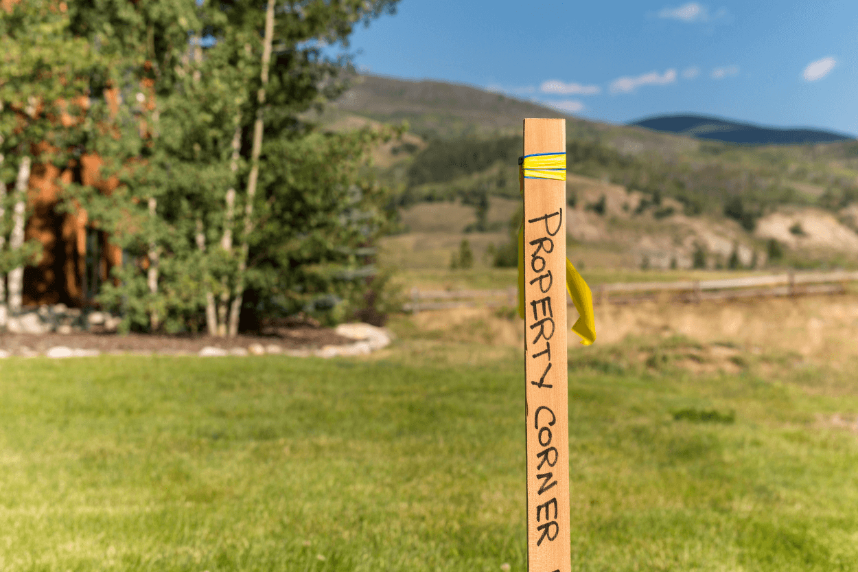
What is a Property Survey and What Does it Prove?
A property survey is a map of a property that may include different data depending on the specific real estate survey you order. It typically includes:
Property boundaries and easements
Rights-of-way referenced in a deed or title document
Visible improvements to the property
Access details
Some may include additional details, such as topography, utility locations, building heights, and other information.
If you plan to add visible improvements to the property, such as a fence or a deck, a permit may require a current survey, or HOAs may ask for one before you can make similar changes. A lender or title insurer may also need a current survey to endorse a sale and check for issues or exceptions.
What a Survey Does and Does Not Do
Knowing the legal lot lines allows you to prove the exact boundaries of your property. A survey can reveal whether a neighbor is encroaching on your property and whether someone has access rights to your land, such as to use it as a right-of-way.
However, it doesn’t assess soil stability or the safety of any topography, for example. Underground utilities are typically only visible if specifically surveyed.
Surveys also don’t define the boundaries. These come from deeds or recorded maps that create or change lots in Washington (“plats”). If a survey monument exists, it can often control the limits of a boundary rather than measurements.
Do You Need to Hire a House Surveyor?
During a home sale, buyers need to understand the exact nature of the property to fully grasp what they are buying. Nobody wants surprises when it comes to public or shared access, or to discover that their property is smaller than a previous survey indicated, or that the seller may have been mistaken.
In some cases, a home survey may reveal new facts that impact financing, such as a fence in the wrong place, which could create an encroachment that the title company or lender will require you to address before appraisals.
Projects
If a project, such as a fence or shed, touches a boundary line, it could encroach on a neighbor. Surveys help you avoid moving or removing them if you find they are in the wrong place. They can help you avoid accidentally damaging a neighbor’s property.
Setbacks
Setbacks are the minimum build distances from a property line. In Gig Harbor, only certain features are allowed within a setback, and a survey can provide information on exactly where these lie. Gig Harbor provides a detailed list of permitted uses and general setback information for reference.
HOA Requirements
Be aware that a local HOA may have specific ordinances that redefine the specifics of what you can build or keep in an area. They may need to approve any construction, and their rules are often stricter than city code to maintain an aesthetic. A survey can help you determine how best to follow these regulations.
Gig Harbor Waterfront Lots
Shoreline-area projects may need to comply with regulations regarding the ordinary high water mark and buffer lines shown on a survey. At the same time, flood-exposed or steep properties often prompt lenders to request elevation data, as they can affect property value, planning permission, and insurance, requiring a topographic survey.
What Different Survey Types Do
For most properties, a simple boundary survey will contain key data for a resale. However, each other option expands the data that you can attain.
Boundary surveys confirm ownership of specific areas and the relationship of the land to visible improvements. In Washington, surveyors will use a specific hierarchy of data (“Priority of Calls”) to define which is the most relevant to your survey. It typically provides information needed for title underwriting in the resale of a residential property.
The American Land Title Association and the National Society of Professional Surveyors (ALTA/NSPS) offer more nuanced, detailed surveys that lenders often use for commercial or highly complex cases.
Topographic surveys display the contours that translate to a parcel of land’s elevation. You can use this to show how water flows across a lot, which is essential when designing for waterfront properties or in areas where drainage may be a problem, such as wetlands or regions at risk of flooding.
Sourcing Surveying Experts
Now, instead of Googling, “What is a property survey?”, you may need to ask where you can get one instead. Fortunately, Schulte & Co. has a strong network of professionals in Gig Harbor, including surveyors who can perform an accurate survey.
To learn more about what that entails and how we can help you with the rest of the property buying or selling process, get in touch with our team. With our concierge-level service and experts focused on the Gig Harbor area, we are committed to understanding your problem and providing the best way to resolve it.
FAQs: Property Surveys in Real Estate
What does a property survey include?
Do I need a survey before buying a house?
How much does a property survey cost?
What’s the difference between a boundary survey and a topographic survey?
Can a survey reveal encroachments or access issues?

About Paige Schulte
Paige Schulte is the founder of Schulte & Co. and a top-producing Realtor based in Gig Harbor, Washington. She’s known for her deep market insight, client-first approach, and community-driven real estate leadership across the South Sound. Learn more or get in touch to work with Paige.